South Coyote Buttes Map
Cottonwood Teepee's Trail - Photos
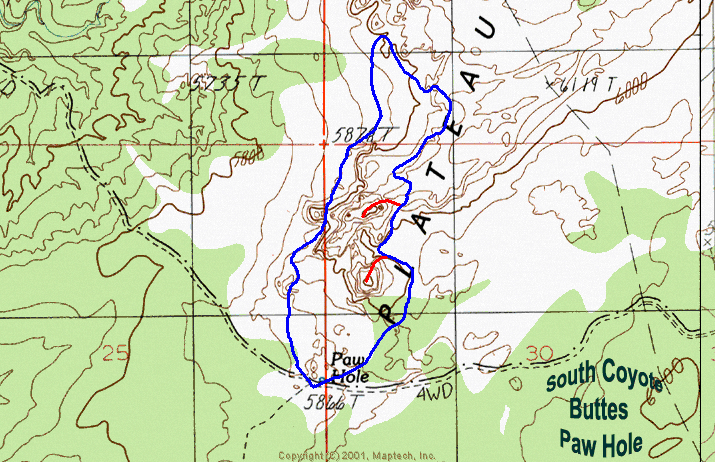
Paw Hole Trail - Photos
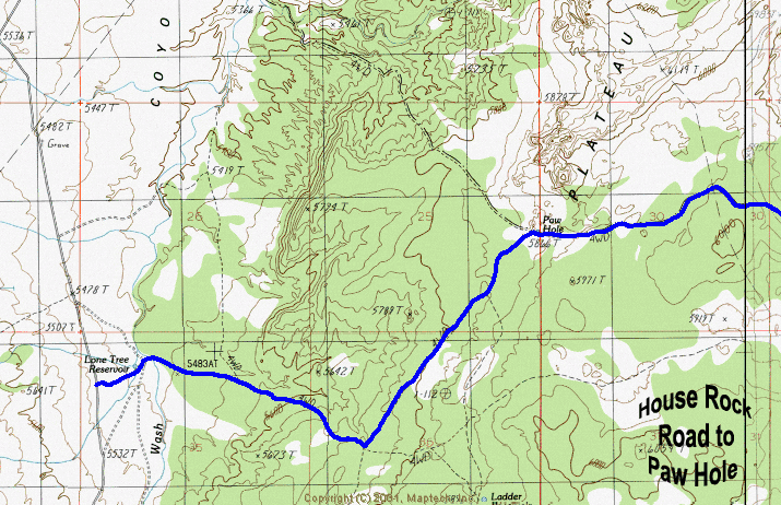
House Rock Road to Paw Hole (South Coyote Buttes)
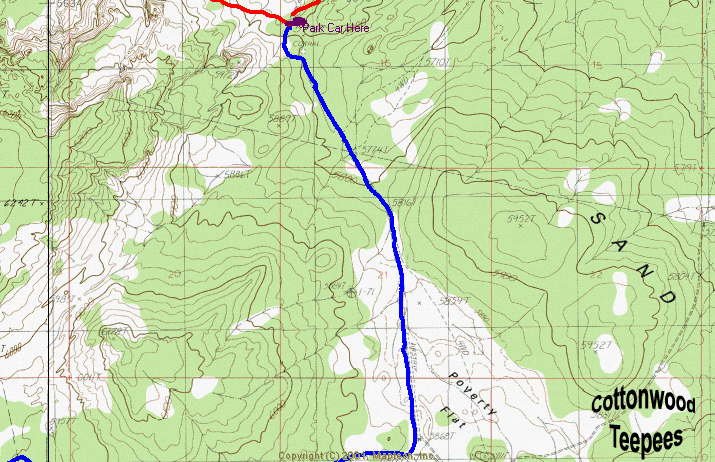
Paw Hole to Poverty Flat map
Paria Canyon - Cottonwood Teepee's Map
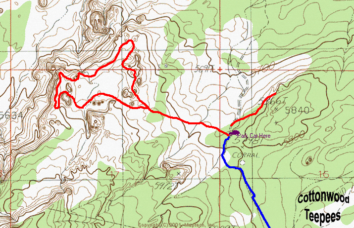
Cottonwood Teepees - South Coyotee Buttes Map
Topo Map by Zion Search and Rescue Veteran: Bo Beck